
Bike Tour 2022 – From Athens to Kalamata via Cape Tainaron – Day #1
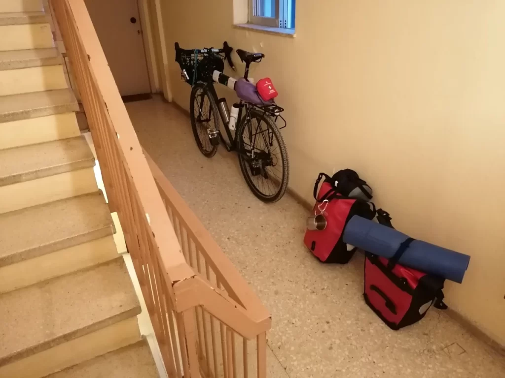
It was a lovey day, although for me it was a lovely night, still. I had barely got some sleep, as I was feeling butterflies in my stomach, although I had prepared everything ahead of time. For the past one month and a half I would ascend the nearby mountain quite often in order to get ready for what lied ahead of me. It was Saturday, 6th August 2022. I had woken up, and got dressed before it was 6 o’clock in the morning. I was happy I had packed everything the night before, and I needed to leave home at around 7 at the latest, in order to have plenty of time ahead of me to load the bike, and hit the road. I was headed to the Port of Piraeus, to take the ferry to Methana, where I had decided to start pedaling to the outskirts of Nafplio, where I would camp for the night.
Riding down Kifisias Avenue at that time was very quiet. Most everybody was either away already for the summer vacation, or they would be leaving soon. I was very alert, because it is not rare that at the time I called it a new dawn, many people call it a day, and I would not want to end my trip, and probably my life too, so close to home. You could easily tell those who were driving to work at that time, from those who were driving elsewhere after having had at least a drink too many the night before. Therefore I would stay on the auxiliary road as much as possible, and only enter the avenue when there was no other way around it. Before I knew it, I was already in Syntagma, which is rarely crowded at this time on a Saturday morning, and thus almost always it is lovely. From there to Ermou str. all the way down to Pireos Avenue, and from there it was all straight to the port.
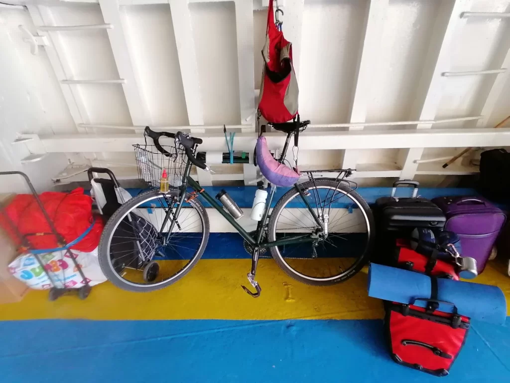
After I bought a ticket, I loaded and secured the bike to the ferry, I took my place in the upper deck, where I would spend the next couple of hours to Aegina, and from there the next hop was to Methana. So at approximately 11:50 a.m. I was back on land, and finally on my saddle. My bike trip was officially beginning.
I followed the A161 from the port of Methana to Taktikoupolis. Methana is a town, and a former municipality on the Peloponnese peninsula, Greece. It is situated on a volcanic peninsula, attached to the Peloponnese. The surrounding area, including the sea water is rich in sulfur, giving it a characteristic color, and emitting a foul odor. In the distance I could see the ferry I was previously on, now heading to the island of Poros.
Methana belongs, administratively, to the Attica region. If looking at it on the map it makes you wonder “How can it be!?”, then you should search for the island of Kithira next. You will find it positioned below Peloponnese. Administratively that belongs to the Piraeus region. Let us return to the tour now. Methana is located north of the road connecting to the rest of the Peloponnese and Galatas. The highest point is 740 metres, and had I not had enough of a climb ahead of me, I would seriously consider climbing that to enjoy the view. The municipal unit has a land area of 50.161 square kilometres and a population of 1,657 inhabitants as of the 2011 census.
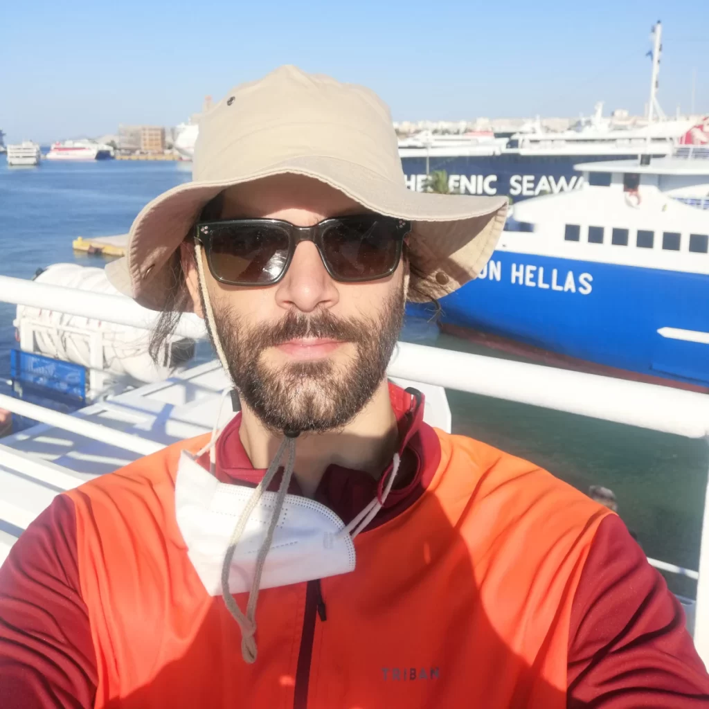
Taktikoupolis would be the first fork I needed to decide if I would head towards the North, or the South. My friend and fellow biker, Agis, had suggested I rode southwards, to Galatas, and from there follow the A158 to Ermioni. Then I could either ride to Iliokastron or Kranidi, and from either one of the two I would then have to head towards Didyma, then Vothikion, down to Kanapitsa, and from there choose between Iria or Kandia. I was quite familiar with both destinations as I have been there before thrice, on summer vacation by car. That route would add approximately 50 to 60 kilometers to my total distance I would have to cover for that day. Having effectively started riding at noon, I calculated that at my average speed of 10 km per hour at that time, I would not make it to the camping ground before midnight. Therefore I decided to save the South route for another time, and headed towards the North, when I reached the Taktikoupolis fork.
Then I had to make my first troubleshooting stop with regards to my gear. Probably due to overheating, or a malufunction, my helmet camera decided it was time to go to sleep; it did not want to start anymore, and I could not record the route or the views. I lost about a half an hour there, on the side of the road, taking the micro SD card out of the camera, starting the camera without the memory, then shutting it down, installing the card and restarting the camera. It did not want to read the damn card! It was a shame, because it was one of the three 64GB cards I had with me, and it was only the first couple of hours of my trip. Regardless, I decided not to waste more of my trip and time standing still, and installed the second memory card, put the first one away, and carried on.
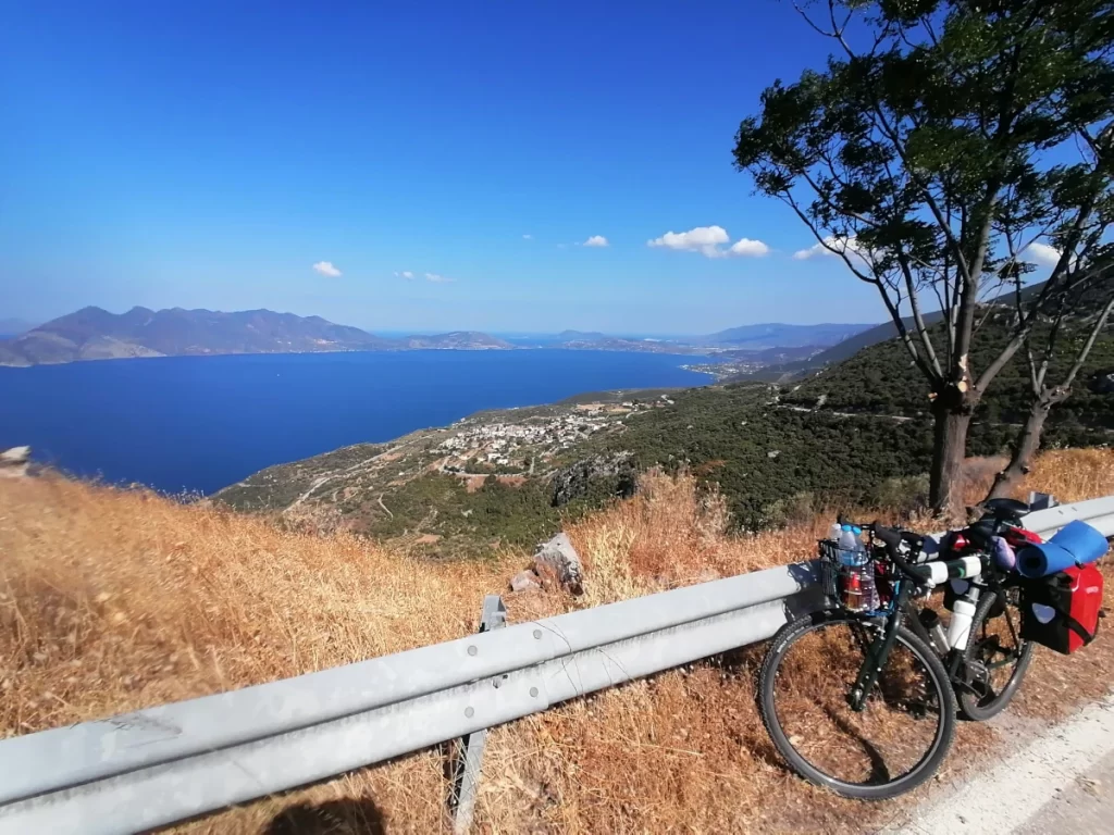
As I was heading towards Metamorfosis, I would enjoy the Psifta beach to my right hand side. Next was Kalloni, which in Greek means “beautfiul”, and beautiful it was. I was on the A157, and like I had originally planned I was about to turn to Dryopi, climb to Fanari, and from there to Ano Fanari. What I was not ready for, was the 10% incline on average from the A157 to Dryopi under the August sun. At least the view was very rewarding. The atmosphere was very clear, and I could see all the way to the Lecabettus hill. It was somewhat ironic and fun; I was sweating from my head to my toes, and felt like I was on the road for days, yet I was so very close to home I could virtually still see it.
One thing I had not anticipated would happen, was that I would not find a place to refill my water bottles. It was 15:00 or 16:00 in the afternoon, and I was running out of juice both literally and metaphorically. There were hardly any stores on my route, and when there was one, it was shut. The incline now had increased to 11%, 12%, and sometimes even 13%. It may seem like a small increase, but to me it was making a big difference. I was riding a 12kg bike, and had an extra load of 20kg in clothes, camping gear, tools and bike parts. I was moving so slowly that it felt like I was crawling. Fortunately it was not a popular road at all, so it was totally possible to zig-zag my way up the hill. It was my very first bike tour, and it was the very first day – hours! – of it too, yet there I was fighting against a steep mountain. I was looking ahead, and what I could see was not fun. It looked and felt like a tarmac wall rising to the mountain top. it wasn’t a matter of distance, really, but one of weight (and heat) against steepness.
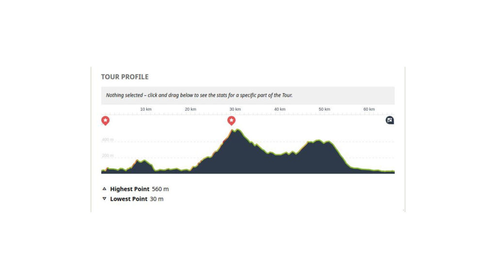
I didn’t dare to look at my navigation app for the incline profile. I had known that Ano Fanari was close to the top of that climb, and that was all I needed to know. When I entered the village, probably the only three children out of the 128 people of its total population as of the 2011 census were enjoying the main square’s little shade. I didn’t care for shade; all I needed to know was if there was a public tap there, and where that would be. They excitedly took me to the church of the village, where there was indeed a tap, and that made me really happy. The children stormed me with questions about my bike, which made it obvious that they were quite smart indeed, despite their young age. The youngest one, at around 4 or 5 years old, informed me that according to the village priest, the public tap there did not only pour regular water, but holy water also, sometimes…
It was great fun chatting with them. I spent a few minutes in their company to catch my breath, but then I had to continue. I waved goodbye, covered a little distance and then pulled out my navigation app, to promptly look at the map. I noticed that I had started at an elevation of approximately 45m, and had climbed to an elevation of 560m in 10km worth of cycling (from the 20th to the 30th km approximately). That gave me a better sense of what I should expect from the graphs of the app moving forward. So far it had not been bad for a first day! But it was already afternoon, and I was only half way to my desired destination, so then it was time to enjoy the decline.
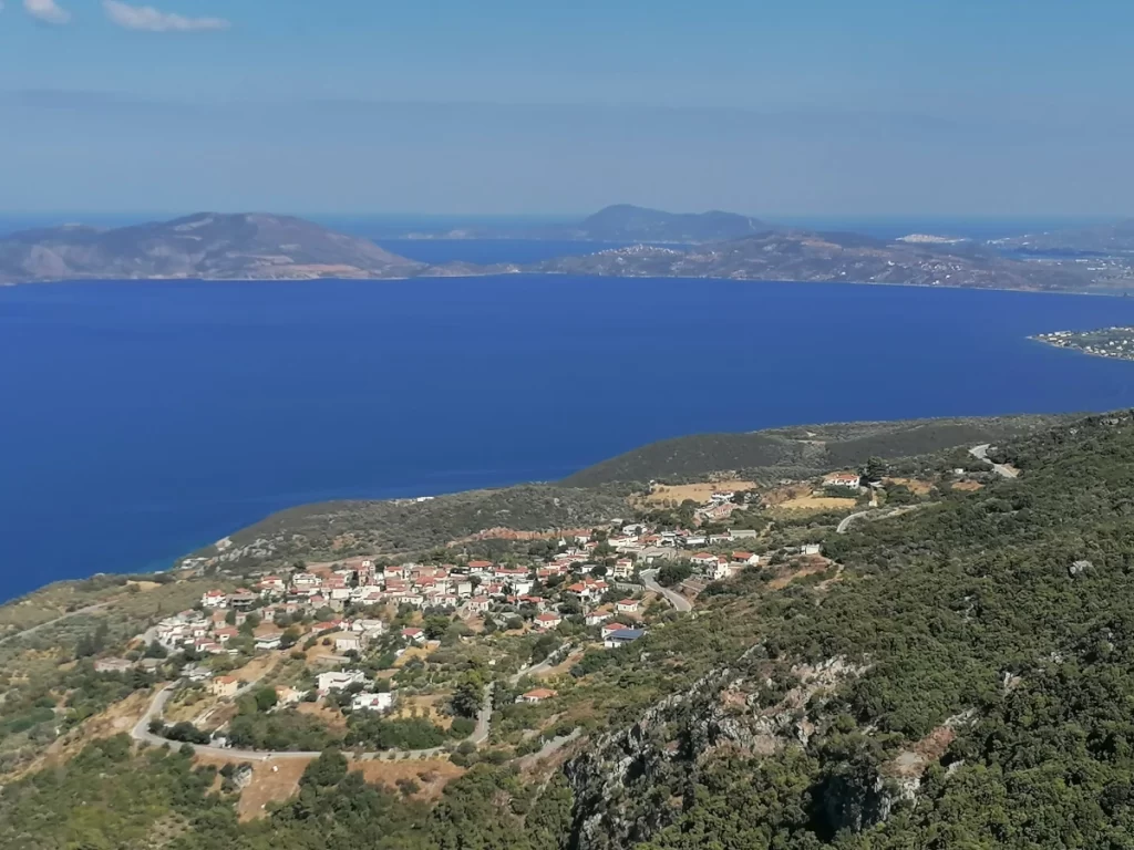
The route was very pleasant after that. There were some times when I would ascend, and others when I would descend. At some point between Kanapitsa and Karnezeika I met on man on a moped, who was going downhill with the engine off. I closed in on him, and when we were next to each other I asked him if he was alright or whether he was experiencing engine problems, and needed help. He was one of the few vehicles I would meet in that part of the roads. He said he was alright, and was only pushing his bike to save on fuel. I asked if he needed anything – some food or water maybe – but he said he was alright. I pedaled on.
Before long I was in Iria. The last time I had been there was 8 years ago, and little had changed, if anything at all. I did remember there was a tavern in the center of the village, where I would eat their delicious ground beef patties back then, and this time I was starving. Unfortunately for them, I had decided to give pescatarianism a try lately, so I did not pay them a visit. I continued to the camping ground. I would prefer it if I had made it to the camping Scala in Kandia instead, where I had stayed all previous times, and was all very familiar to me. I knew the place and the people there, but it was getting dark, and I did not want to ride in the dark, or to risk getting a flat and getting stranded midway there, or anything like that. As soon as I was let know that there was indeed free camping space there, I checked in, despite the fact they informed me that due to my staying there only one-night they would charge me an extra 20% of the normal fare. I did not care. All I wanted was a shower, some food, and a cold beer. I enjoyed all three that night, before passing out.
Total Uphill: 1220 m
Total Downhill: 1230 m
Lowest Point: 30 m
Highest point: 560 m